How the Fjord Took Shape
The Norwegian coastline is a testament to the immense power of moving ice sheets, tectonic uplift, and the steady incursion of the North Atlantic Ocean.
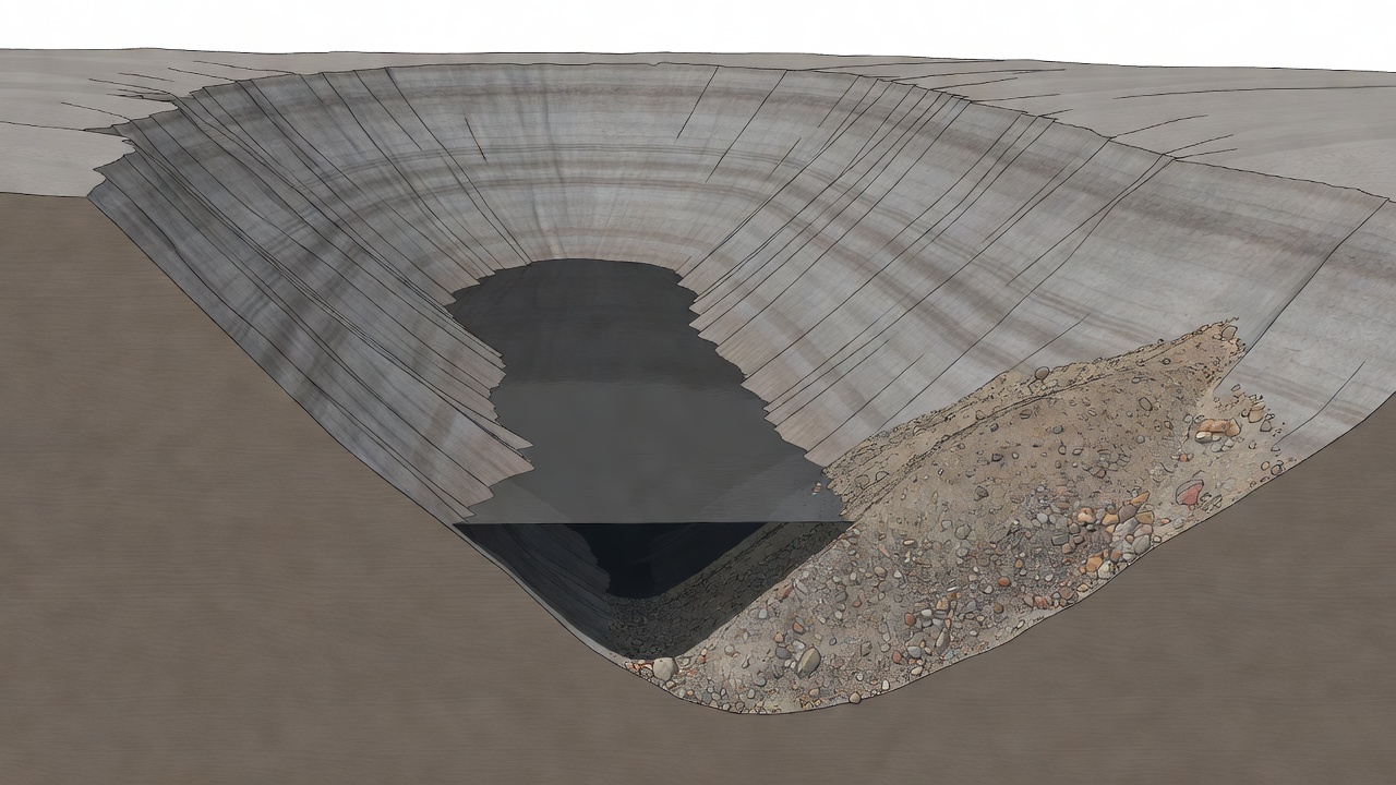
The Process of Glacial Overdeepening
True fjords are created by glacial overdeepening. During the Pleistocene epoch (beginning approximately 2.6 million years ago), repeated glaciations engulfed the Scandinavian peninsula. As ice sheets grew thousands of metres thick, immense pressure caused basal ice to melt slightly, lubricating the rock bed beneath.
Trapped boulders and gravel acted as abrasive grit, grinding pre-existing river valleys into distinct, flat-bottomed U-shaped troughs. Because glaciers carve deeper where ice is thicker, erosion was most intense far inland where ice converged, rather than near the open sea.
The Submarine Threshold (Fjord Sill)
One of the most remarkable features of a fjord is its underwater threshold or sill (terskel). While the interior waters of Sognefjord plunge to an astounding depth of 1,308 metres near Vadheim, the mouth of the fjord near the open North Sea shallows to barely 100 to 150 metres deep.
This shallow sill represents the point where ancient glaciers began to float, losing their direct grinding contact with the seabed and depositing terminal moraine material. These sills have a profound ecological effect today: they buffer the deep fjord waters from heavy ocean swells and trap cold, dense, nutrient-rich Atlantic seawater inside deep, tranquil inner basins.
Caledonian Rock Strata and Weathering
The distinctive geology visible along western Norway's fjord walls dates back to the Caledonian Orogeny—a collision between ancient tectonic continents roughly 400 million years ago. In regions like Nærøyfjord and Gudvangen, travelers encounter pale, durable anorthosite rock, the same mineral prevalent on the lunar highlands.
Elsewhere, such as around Geiranger and Hardanger, folded gneisses, schists, and phyllites predominate. The orientation of these rock layers dictates where waterfalls form and where unstable rock slopes occasionally give way, triggering localized tsunamis in enclosed water bodies.
Post-Glacial Rebound and Strandflats
When the immense weight of the Fennoscandian ice sheet lifted around 10,000 years ago, the Earth's crust began to slowly rise—a phenomenon known as post-glacial isostatic rebound. Ancient wave-cut beaches and gravel terraces are now found perched dozens of metres above present-day sea level.
Along the outer coast, this rebound revealed the strandflat: a low, wave-battered rim of rocky skerries and islands where communities like Bergen, Ålesund, and Florø established their harbours.