Life Beside Deep Water
Along the narrow branches of Sognefjord and Hardangerfjord, small clusters of timber dwellings have survived where land and water meet under towering granite slopes.
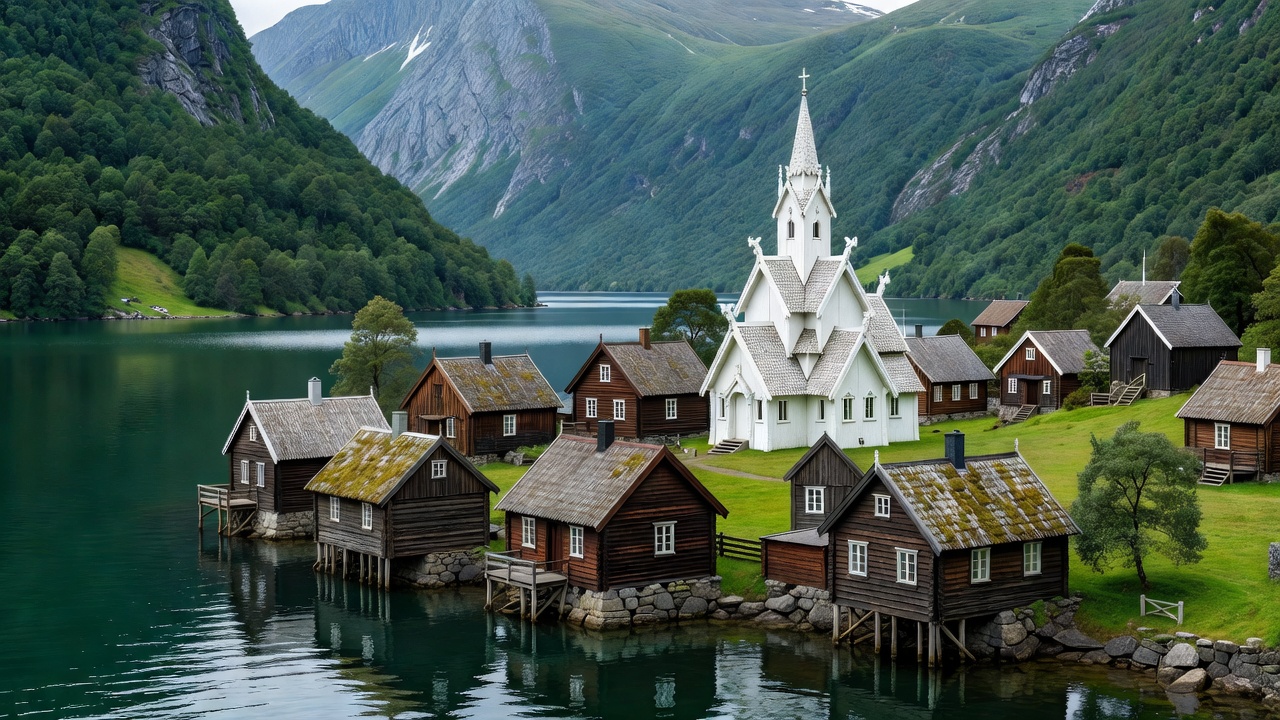
Undredal: Goat Farming and Medieval Timber
Resting on the southern shore of Aurlandsfjord, Undredal illustrates the delicate balance of coastal survival. Hemmed in on both flanks by cliffs that exceed 1,000 metres, the hamlet owes its existence to the alluvial delta created by the Undredalselvi river. Until road tunnels penetrated the mountains in 1988, every inhabitant, sheep, goat, and dairy barrel arrived or departed by small fjord vessels.
Today, the village retains its agricultural focus. Over five hundred dairy goats graze the steep summer pastures, supplying milk for brown geitost (traditional caramelized goat cheese). In the heart of the village stands Undredal Stave Church, constructed around 1147. Seating only 40 worshippers, it is recognized as Scandinavia's smallest church still in active use, with timber roof joists and medieval paint motifs preserved despite centuries of damp maritime air.
Bakka: The Edge of Nærøyfjord
Further west, along the narrow Nærøyfjord, lies Bakka. Situated five kilometres north of Gudvangen, Bakka is built on a narrow gravel bar where the fjord narrows to a breathless width. The entire village comprises fewer than twenty permanent households, surrounded by sheer rock faces that channel the winter gales.
Bakka's church, erected in 1859, was designed by architect Christian Henrik Grosch. Before its construction, local parishioners had to row in open four-oared boats through treacherous seasonal ice to attend services across the sound. Behind Bakka begins the historic Rimstigen path, an arduous route cut into the mountain wall that villagers used for centuries to drive livestock to high summer pastures (støler).
Fjærland: Silt Water and Glacial Shadows
At the northern terminus of Fjærlandsfjorden, an arm of the Sognefjord, water takes on an emerald-turquoise hue due to suspended glacial rock flour. Fjærland is a community intimately tied to the Jostedalsbreen ice cap. The village centre, Mundal, features nineteenth-century wooden storehouses along the shoreline that have been repurposed into Norway's famous Norwegian Book Town (Den norske Bokbyen).
The geography of Fjærland presents an unusual climate transition: fruit orchards and cattle pastures thrive on the fjord flats while the Bøyabreen and Supphellebreen glaciers loom just a short distance up the valley. The proximity of ice means chilly down-valley winds sweep across the pastures during summer evenings, keeping the village cooler than its southern counterparts.
Solvorn: Protected Orchard Shorelines
On the western bank of Lustrafjorden sits Solvorn, sheltered from prevailing coastal gales by high surrounding ridges. Solvorn was historically a vital trading station and ferry link to Urnes Stave Church, located across the fjord. Its whitewashed boathouses (naust) line the stone quays, their timber piles submerged in the brackish water.
Unlike villages situated inside narrow chasms, Solvorn receives abundant summer sunlight, allowing family-run orchards to harvest apples, pears, and plums. The rhythm of daily life here remains oriented around the wooden car ferry MF Urnes, which plies the water between Solvorn and Ornes, carrying timber, milk, and local residents.
Settlement Characteristics Summary
| Village | Body of Water | Year Road Connected | Primary Traditional Industry |
|---|---|---|---|
| Undredal | Aurlandsfjord | 1988 | Goat dairying & stave church parish |
| Bakka | Nærøyfjord | 1978 | Subsistence fishing & seasonal goat transhumance |
| Fjærland | Fjærlandsfjorden | 1986 | Glacial melt farming & trade boating |
| Solvorn | Lustrafjorden | 1890s (Cart road) | Fruit orchards & ferry crossing |