Where Rivers Become Falls
The interplay of deep glacial carving and upland plateau drainage produces the most concentrated collection of sheer waterfalls on earth.
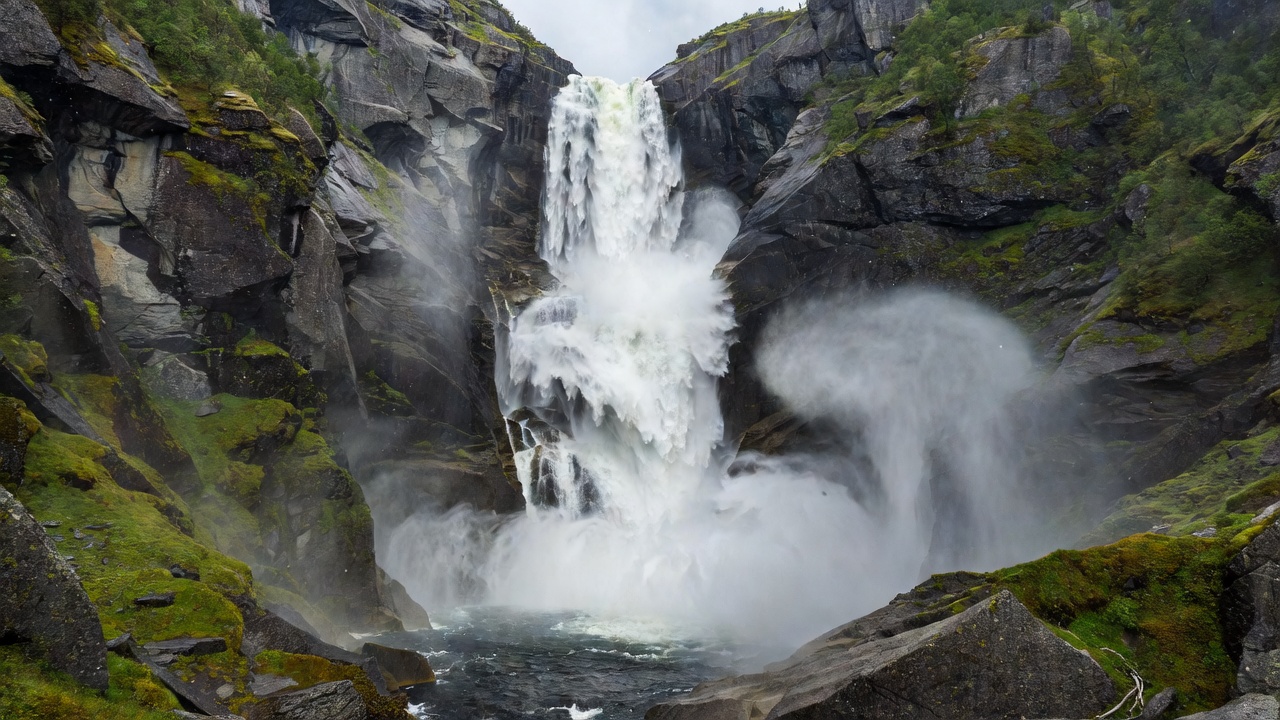
The Mechanics of Hanging Cascades
During the last glacial maximum, ice streams scoured western Norway's primary valleys with immense erosive force. Side valleys held smaller glaciers with lower mass, cutting shallower beds. When the ice sheets retreated 10,000 years ago, tributary streams were left stranded hundreds of metres above the main fjord floors, giving rise to "hanging valleys" (hengedaler). Unimpeded by gradual gradients, these rivers must leap off cliffs to reach sea level.
Vøringsfossen: The Chasm of Måbødalen
Located at the upper end of the Måbødalen canyon in Eidfjord, Vøringsfossen is one of Norway's most iconic falls. The Bjoreio river drains the western edges of the vast Hardangervidda plateau before plunging 182 metres into an abyss, of which 145 metres is free-falling water.
The sheer velocity of the water creates a microclimate of cold mist at the foot of the gorge, fostering rare mosses and liverworts on the canyon floor. Today, walking bridges span the gorge, but historically, travellers negotiated the Måbøberget cliff steps—over 1,500 hand-hewn stone steps built in the late 1700s to transport livestock between high grazing lands and the fjord port.
De Syv Søstre and Friaren: Geirangerfjord
In Geirangerfjord, waterfalls define the landscape. The Seven Sisters (De syv søstre) consists of seven separate streams plunging over a 250-metre cliff face. The falls are fed by melting snow from the high Geirangerfjellet fell, meaning their visual impact peaks between late May and early July when warm weather accelerates thaw.
Directly across the sound falls Friaren (The Suitor). Unlike the delicate parallel ribbons of the Sisters, Friaren funnels down a granite groove, splitting midway into a shape resembling an ancient glass flagon. Folk tales tell of the suitor who, rejected by the seven sisters, turned to alcohol on the opposite cliff.
Kjosfossen: Raging Mist on the Flåm Line
Deep inside the Flåmsdalen valley, Kjosfossen drops 225 metres over tiered cascades. Fed by the mountain lake Reinungavatnet, the waterfall generates intense spray that drenches the narrow tracks of the Flåmsbana railway line. The power of this drop is harnessed directly on site by a small hydroelectric turbine that supplies electricity to the railway itself.
Comparative Fall Statistics
| Waterfall | Fjord Region | Total Drop | Free Fall | Catchment Source |
|---|---|---|---|---|
| Vøringsfossen | Hardangerfjord (Eidfjord) | 182 m | 145 m | Hardangervidda plateau river |
| De Syv Søstre | Geirangerfjord | 250 m | 250 m | High plateau seasonal snowfield |
| Friaren | Geirangerfjord | 275 m | 125 m | Skageflå upland runoff |
| Kjosfossen | Aurlandsfjord (Flåm valley) | 225 m | 93 m | Reinungavatnet mountain lake |
| Feigefossen | Lustrafjorden | 229 m | 218 m | Jotunheimen fell meltwater |